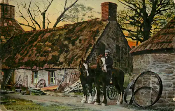
In the latest #StoryOfOurStreet blog we take a look at how the Valuation Office Survey of 1910 can help you trace the story of a street.
What is the Valuation Office Survey?
This 1910 survey was carried out between 1910 and 1915 and was a review of land and property in England and Wales that recorded nine million houses and farms across the land.
The descriptions derived from the survey data show:
- the value of a particular piece of land
- how it was used
- the name(s) of its occupier
How do I find the information for my street?
To explore the data, visit the UK National Archives website survey map finder here. This will allow you to find and, if you wish, order the field book for your area without having to visit the archives in Kew.
There are around 95,000 Valuation Office Survey field books and although not all of the survey survives, it's certainly worth checking for your area of interest.

Once you've found your area of interest on the map (see above screen shot) you can click on it to get an index reference that allows you to order the relevant field book information.
For more information on this resource, take a look at the National Archives research guide here. For information on land records for Scotland, visit National Records of Scotland and for Ireland, see the valuation records at National Archives of Ireland.


